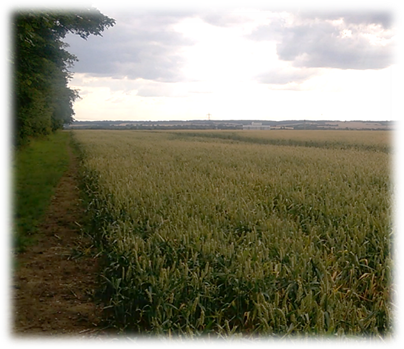
Remember. “Four legs good. Two legs better.” Useful if you are walking the Hertfordshire Way!!!
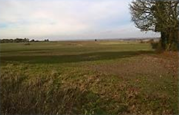
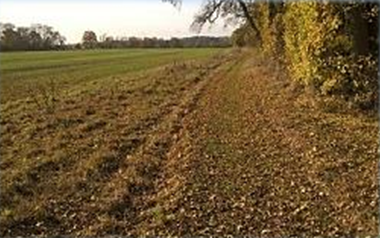
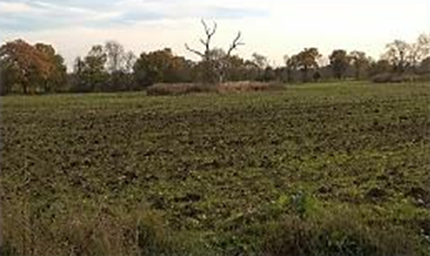
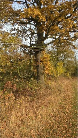
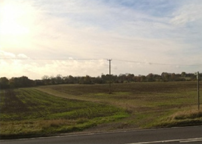
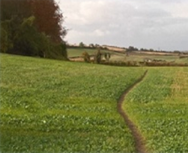
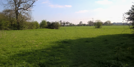
Leave by the church gate and, at an unwholesome looking pond opposite, turn right onto the road and follow it as it bends left, (at this point there is an unbroken view over the countryside towards Baldock (below left) to become a wide and easily followed track skirting fields. Walk for five or six minutes until a sign directs you right, over a small wooden bridge to emerge in a large field – with a distinctive ‘island’ of trees (below right) – and a perimeter path stretching ahead alongside trees towards a wood (bottom centre). When I retraced my steps on a beautiful autumn morning I discovered, exposed by the missing foliage, a viewing platform stuck fifteen feet up a tree (bottom left) and accessed by a metal ladder. So what creatures are normally under surveillance? My guess is deer, rare raptors or, maybe, okapi! Or perhaps groups of knock-kneed garishly clad ramblers muttering darkly that they face another 11 miles before journey’s end and why didn’t they relax in the sun in a garden chair. Well you wanted to do it. So keep moving.
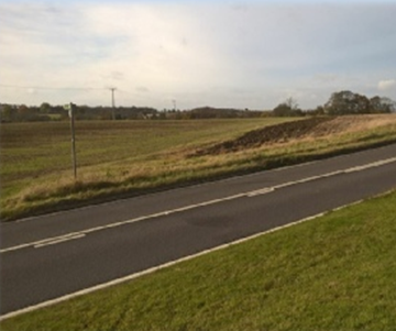
Leave the field, cross a foot bridge and follow the path through the wood until you appear on the left of Clothallbury Wood. Continue on an obvious track all the way to the A507. Here was a rarity. A Hertfordshire Way sign pointing in a misleading direction encouraging walkers to cross the road and head straight across the field opposite (below left). In fact the official route heads off obliquely right mirroring the line of a series of telegraph poles (below right). When I crossed the field in the summer the path was hard to pick out. In autumn it was completely indistinct. But once you’re confident you are heading in the correct direction aim for the far hedge and when you reach it turn left and find a series of wooden steps on your right leading down to a road and the quiet village of Clothall.
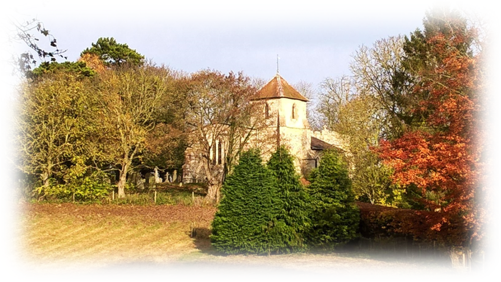
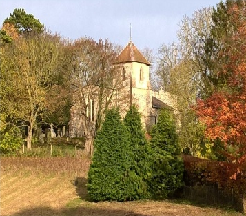
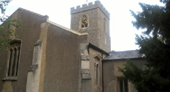
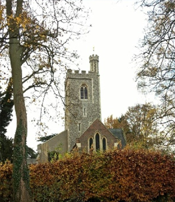
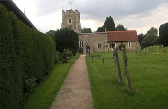
Turn left along the road and follow it as it passes some impressive houses and rises to a bend. On the right is a gate which drops down an easy to follow track with the photogenic 14th century flint and stone St Mary the Virgin on the eastern chalk slopes of Hickman’s Hill on your right (below left). Another gate leads you into a grassy area with an unmistakeable metal gate in front of you with a Hertfordshire Way roundel. (below centre). But the clearly delineated route ahead (below right) actually starts in front of another gate so walk the few yards right to that.
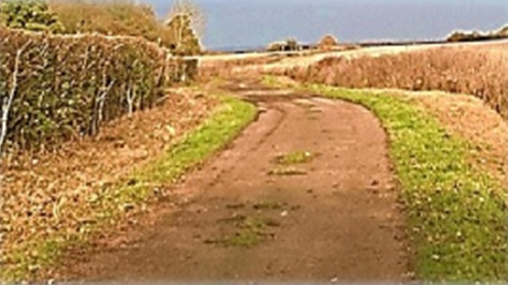
Follow the path towards the distinctive collections of farm buildings ahead. On reaching Welbury Farm turn left, go through the farmyard, aim for a gate in the adjacent field, turn sharp left and begin a mile long walk between the Weston Hills on your right and Newfield Hill on your left. The path skirts woods on the left and then the right before passing wooded Green Grove and then turning right on what is now a wide, well-worn track (right). It was on this somewhat dull stretch that I encountered two women walking their dogs – the only people I met on the official route all day. When the track runs out at a sharp bend in a road turn left, cross over and locate a path to the left of Bushwood House.
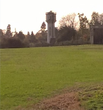
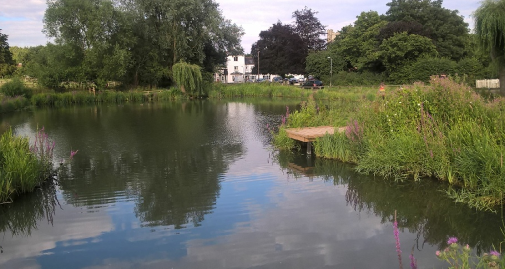
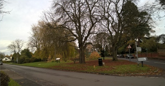
Go through a gate into a narrow path –both times I’ve been there it has been overgrown – rubbing shoulders with Bushwood House’s less than private garden, including what felt to be its back lawn (how irritating it must be to have ramblers gawping at your barbecue party or admiring the contents of your greenhouse. The residents must get really cheesed off). Continue forward with a hedge on your right. Across the fields is the landmark Weston water tower (see left). Where the field ends march on across cultivated land heading towards the far right hand corner where there’s a gap in the hedge line. It’s probably easier to skirt the tree line on your left after crossing the field and then right to reach the gap. It’s your choice. Entering a field with a large tree in its centre walk diagonally right where the land drops down to some steps on to Maiden Street. Turn right and after 30 yards a sign on the left next to a lamp post directs you towards a wooden fence and a private drive. However if you want to visit the fleshpots of Weston, which has two pubs and a post office/grocery store, continue along Maiden Road for 10 minutes until you reach the village green with its pond (below).
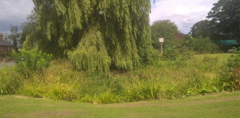
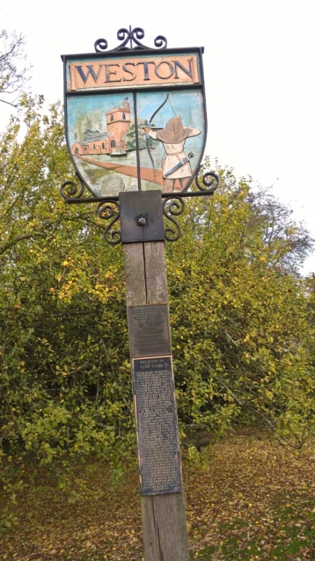
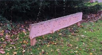
Although much of the walking so far gives the impression of crossing unchanging and undulating farmland with little sense of height gained the centre of Weston is at 484 feet. On arrival you’ll discover a fine example of one of the characteristic quirks of village life – the historic sign. In Weston’s case standing alongside the pond on the green. Signs, a particular feature of villages in southern England and East Anglia, often depict some symbolic historical or cultural event – or intriguing folklore – relating to the village. The myth of Jack O’Legs, a towering Robin Hood style rogue – Hertfordshire’s own Errol Flynn without Olivia de Havilland as a distraction obviously – who robbed the rich traders of Baldock to give to the poor is chronicled at Weston. Myth has it that, after he was finally captured and severely wounded by the shopkeepers in a cave in the hills outside Weston – losing his sight – he asked that he be handed his bow and arrow before he was hung and wherever the arrow landed that was where he was to be buried. The arrow supposedly flew three miles and landed in the churchyard in Weston, where his grave remains. Fittingly a very tall story for a very tall man. Or is it? As J. R. R. Tolkien wrote: “I believe that legends and myths are largely made of truth.”
-
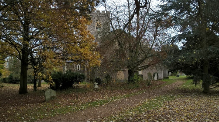
The village green in autumn. -
-
-
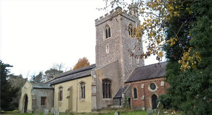
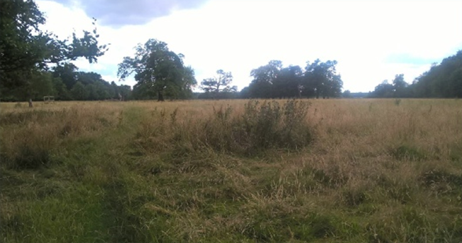
If you choose to miss out Weston and walk on to the church then, from that curving drive in Maiden Street, look out for the tell-tale Hertfordshire Way roundel by the drive and then go through several kissing gates until a path leads into the churchyard of Holy Trinity. Immediately on entering the churchyard turn right unless you aim to visit the church. (The “grave” of Jack O’Legs is by the main gate through the churchyard.) On turning right continue to a signed footpath on your left. Avoid the first path which veers left into Weston Park but away from the official route. The second correct route sends you across an open field on to the Weston Park estate (below).
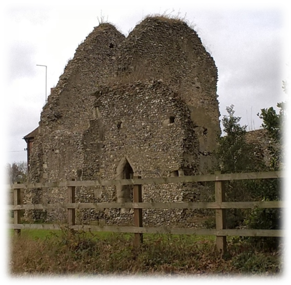
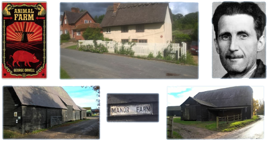
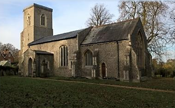
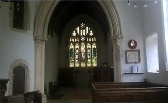
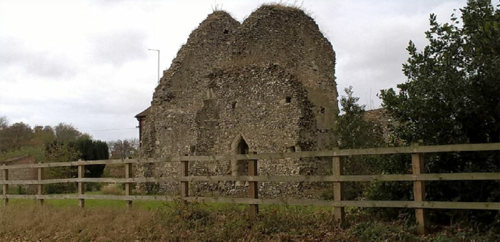
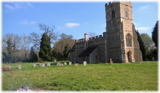
It’s not too difficult to drift off course crossing the parkland (with its lakes and ponds largely hidden in woods to the left). Keep the woods to your left. You should soon find a driveway which you cross bearing left towards a metal fence where a kissing gate leads you on to a drive. Head for the wood on your left and keep it on your left as it bends round in that direction until a series of kissing gates – I found the path here hard to identify and the route ahead was a bit hit-and-miss – leads you across parkland where in the far corner and where the treeline becomes hedges find a gate and then walk to another 20 yards away next to a farm gate on a sharp bend alongside the entrance to Warrens Green farm. Head straight on along Warrensgreen Lane until it bends right where a track joins the road. When the road shortly bends left a track ahead leads you alongside woodland on your right and through two fields to emerge at a pond in the grounds of Tile Kiln Farm. Turn right through the farm buildings on a track and then turn left into Back Lane. Walk for just over a quarter of a mile and identify the start of a wood on your right. When the wood ends just after a bend in the road a track on your right leads you around the perimeter of two fields until you reach Back Lane again at the entrance to yet another Manor Farm. On the left are the ruins of St Etheldreda Church (below) which was once at the heart of the now disappeared village of Chesfield. Turn left into the road and then at a T-junction right into Back Lane.
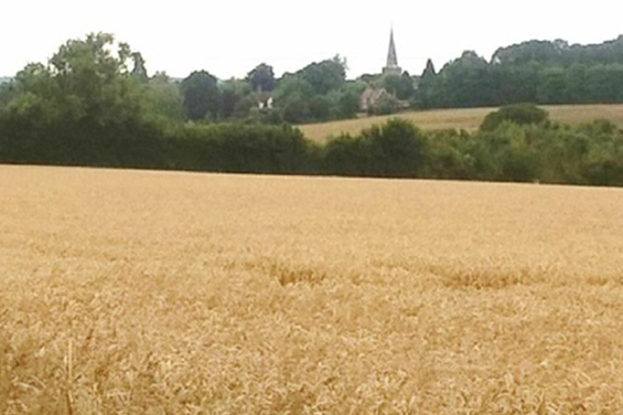
At the second sharp bend a clear track in front of you gives access to a large field (below left). Stick to the right of the woodland until it peters out and becomes a hedge. Here is a good photo opportunity, the spire of St Nicholas Church on the edge of Stevenage dominating the skyline (below right). After 100 yards a sign sends you right across a large field heading towards a line of trees. Pay attention here as the sign when I passed was difficult to spot. When you reach a hedge blocking your path turn right and follow the track until you emerge – where else – in Back Lane near some houses. Turn left passing Church Lane and then bear right in front of St Mary’s Church. (If you want to visit Graveley and its High Street and pubs walk along Church Lane).
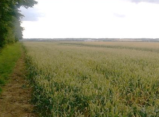
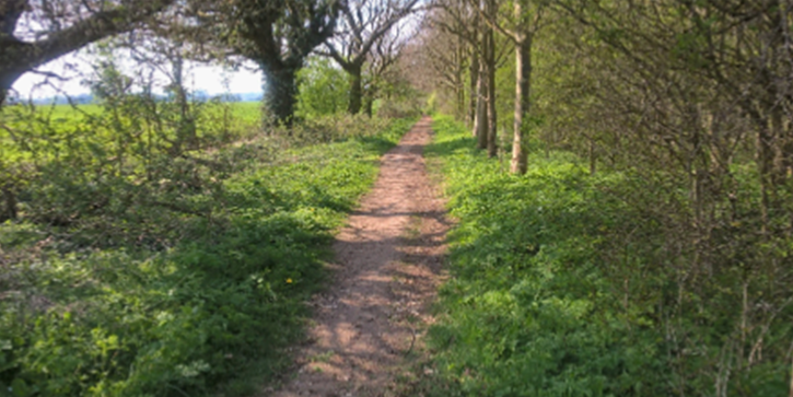
After passing the church you approach a collection of private farm buildings. At the bottom of an obvious track joining the road from the right is a Hertfordshire Way sign directing you to a modest track opposite which skirts the yard, crosses a ditch and heads inexorably on a well established track past a grass airstrip and continuing for a third of a mile, keeping left, to steps which take you down to High Street, the B197, where there isn’t a pavement! So plan your charge to the pavement opposite, turn right and then go under the A1 (M) to join a track immediately on your right. After 400 yards you’ll approach an obvious wood with a clear permissive path heading off left alongside a mature plantation (picture below). If you want to reach Willian continue straight on. See bottom of page. Follow the permissive path for half a mile to the narrow, enclosed and unpaved Willian Road. Turn left and walk into the village of Great Wymondley and aim for the Green Man pub.
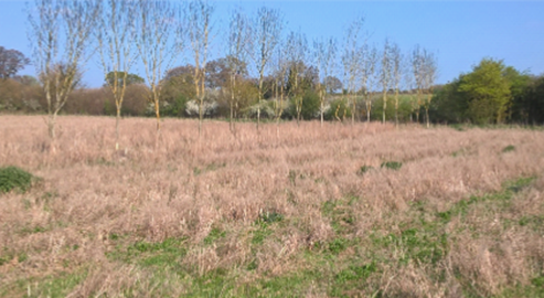
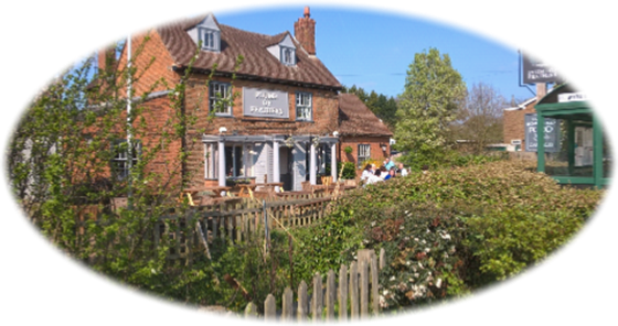
Pass through the churchyard and at the impressive lych gate locate a clear path which heads diagonally left (below left) to a clump of trees in a corner of a field where a fetid looking pond and a kissing gate leads you into another field. The track unmistakably continues through a hedge to reach a relatively young plantation of regimented trees (below right). When you reach Priory Lane, turn right and walk under the often crushingly noisy East Coast London to Edinburgh line to the crossroads at the Plume of Feathers pub (bottom left). Cross over and walk the 60 yards to the Bucks Head (bottom right).
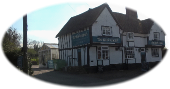
Now call it a day and stop off at one of the pubs – you’ve been spoilt for choice during the last 12 miles (albeit involving small detours) – and reflect on what I’d argue was a “proper” cross country trek. Ask yourself how many people did I meet en route? I’d think very few, if any. Excluding, perhaps, Weston and Graveley – if you ventured off route – and a late in the day acquaintance with the folksy ‘hubbub’ of Great/Little Wymondley when a cursory “afternoon” nod will be acceptable recognition.