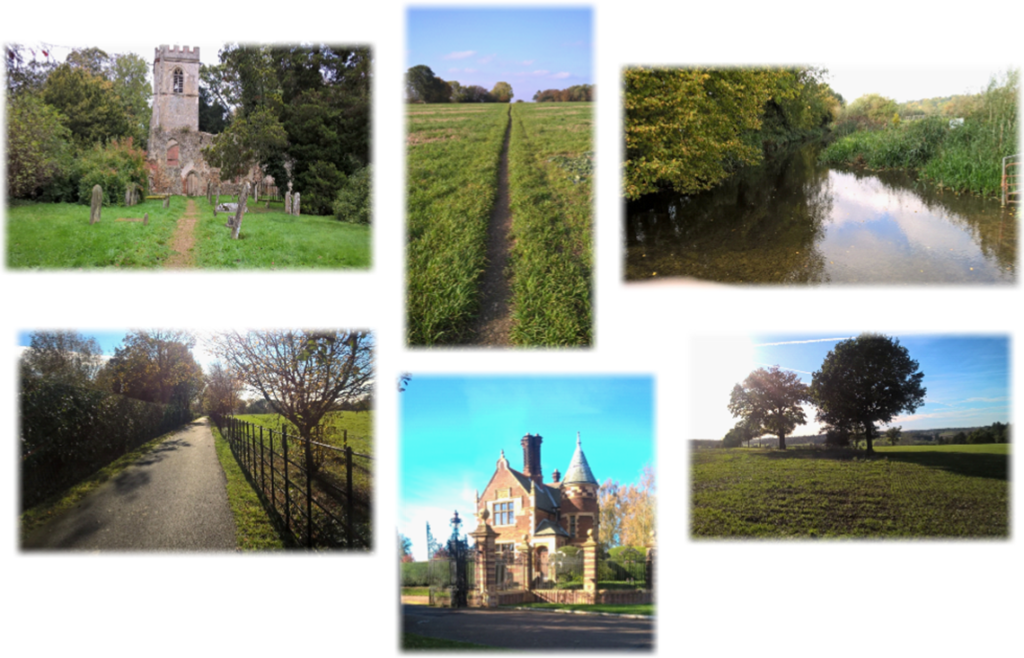
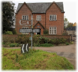
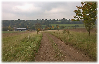
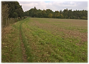
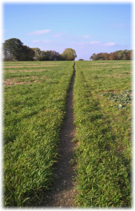
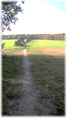
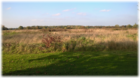
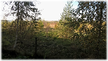
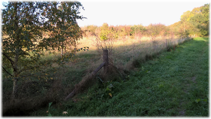
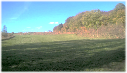
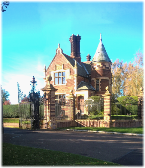
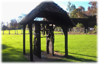
 Turn left and walk down the road, crossing the River Mimram at Bentleys Farm, to reach a grass triangle with a cluttered sign post directing you left to Shaw’s Corner and Ayot St Lawrence. A HW sign also directs you left at the junction (above right). Walk 100 yards along Kimpton Road to a white bungalow on your right, Ayot Lodge. Ahead, through a gate, a distinct broad path climbs between fields to a wooded skyline. At the top look back towards the hills around Codicote (right). Continue on the scenic two thirds of a mile ramble alongside plantations of young trees, parkland and arable fields. (below left and right). When another track joins from the right skirting Brimstone Wood locate the clear path ahead that follows a fence on the right – with good views to the left – heading slightly uphill (bottom left) to reach a gatehouse at the entrance to the Grade II listed Elizabethan Ayot St Lawrence Manor, once owned by William Parr, brother of Henry VIII’s last wife Catherine Parr. At the drive turn right into Hill Farm Lane virtually opposite the reputedly 14th century but definitely timber-framed Brocket Arms, a favourite haunt of George Bernard Shaw (both bottom right).
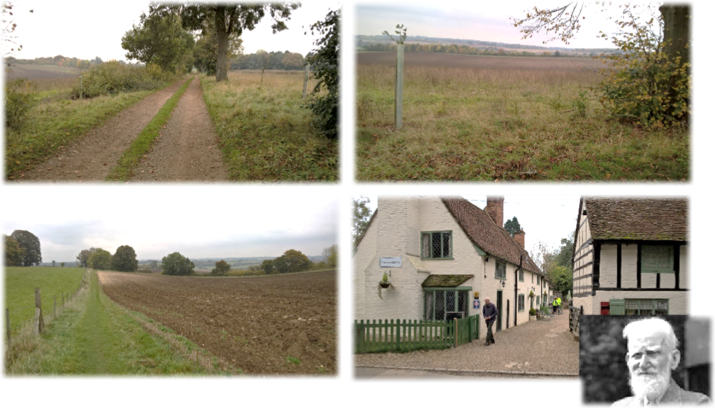
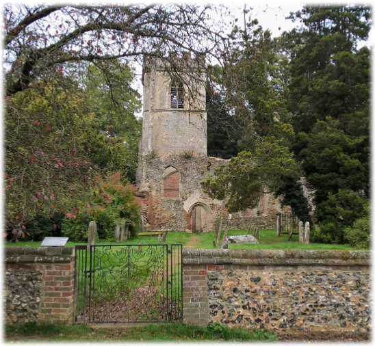
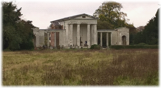
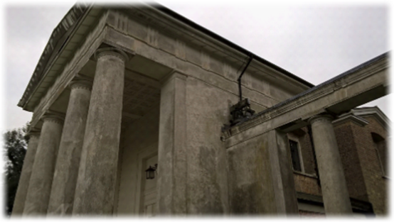
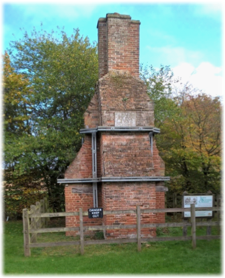
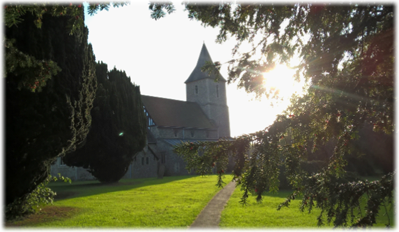
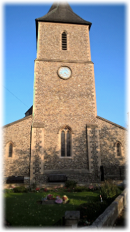
Tradition has it that when merchant Sir Lionel Lyde built Ayot House he felt the 12th century church blocked his view. He began to pull it down in 1775 until the Bishop heard of his vandalism and demanded demolition stop to prevent further destruction. The church fell into disuse when the replacement substantial neoclassical “Palladium”-style New St Lawrence Church with its Doric columns was built in 1799.
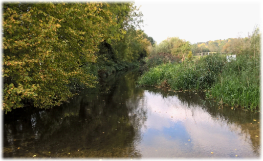
The River Lea rises in Leagrave in the Chilterns and flows for 58 miles to Bow Greek in east London where it joins the Thames. It’s arguably the main reason why Wheathampstead is located where it is, having carved a valley rich in woodland and pasture. In the first century BC the Catuvellauni tribe settled in the area (see the history of Devils Dyke below) and the land has been occupied ever since. Its tributaries include the Mimram – which we have already met several times – the Beane and the Stort, all officially classified as shallow, fast-flowing and nutrient rich chalk streams (see references to chalk streams elsewhere). However, the Lea at Wheathampstead doesn’t have that rare status because a large proportion of the flow consists of treated effluent from the sewage plant at East Hyde. This means it’s cleaner than most rivers in England but the high levels of phosphates and nitrates disqualify it as a chalk stream, even though flora and fauna flourish.
 The massive earthwork of Devil’s Dyke is thought to have been constructed around 2,000 years ago and may have partially enclosed a centre for the local powerful and warlike tribe the Catuvellauni as a place for people and livestock in times of unrest, though there is no irrefutable evidence for or against this theory. The tribe – led by Cassivellaunus, the first British individual whose name is recorded in history – led the resistance against Julius Caesar’s second invasion of the country in 54 BC. He was eventually betrayed by one of the tribes he had previously defeated and was forced into a treaty. Devil’s Dyke, together with nearby excavations The Moat and The Slab, enclose the largest defended site against early Roman occupation in Hertfordshire. Devil’s Dyke is around 30 metres wide and 12 metres at its deepest.
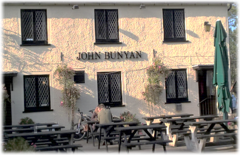 Attempts to discover the true history of the pub have been thwarted by conflicting information. Brewers McMullen record the company bought it for £500 in 1898. Legend cites the impecunious 7th Earl of Cowper and his successors who owed the pub four shillings for its use. But as the earl died childless the pub was left permanently out of pocket! I am unconvinced that the debt made any difference to its history. Other sources say it has been a pub only since 1932 and was initially called The Prince of Wales. But the landlord told me it was opened as a pub 100 years ago to meet the needs of local farm labourers. Ultimately it doesn’t matter. It’s ‘hidden’ in a delightfully secluded spot – the hallmark of a great English hostelry. Those interested in quirky, intriguing inns should seek it out. The uninspired who pass it by don’t know what they are missing.
 Having been rested, watered and possibly fed let’s head to Sandridge. What follows is a classic section of complementary cross-field and woodland walking with no chance of going astray, friendly underfoot and an ever changing landscape. Plus an introduction to one of the most imaginative, far-sighted and ambitious landscape projects in England – Heartwood Forest.
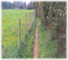
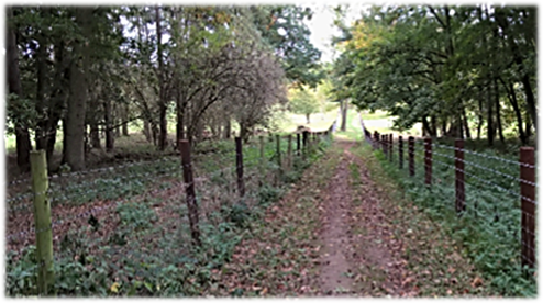
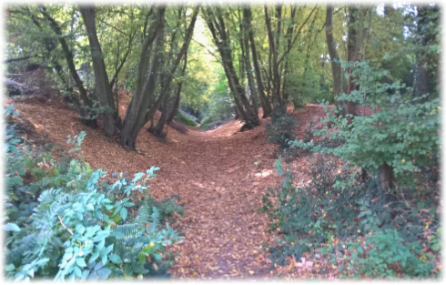
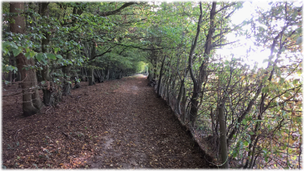
With your back to the front of the pub walk across the grass to Coleman Green Lane, turn right and walk 40 yards to a gated field entrance on your left with a gap alongside. Look for the roadside tree trunk on its side to pinpoint the way forward. Enter the large field and, keeping a hedge and trees to your right, continue on the perimeter path as its climbs steadily to a tree line (see left). Bear slightly right to pick up a strikingly clear no-nonsense footpath that does the landowner great credit (see right). If only it could be a template for all footpaths.
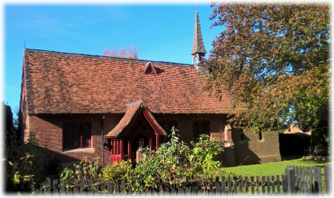
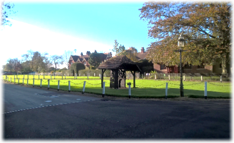
For many people, including me, when first discovered this intriguing hideaway – a so-called ‘model village’ built for farm workers 100 years ago on a once huge estate whose history goes back to the 13th century – is a revelation. With its neatly mown village greens, pristine chain-and-post fencing, the old well and quaint 150-year-old church designed by Sir George Gilbert Scott (below left), Childwick Green is often described by estate agents as “one of the most glorious places to live in Hertfordshire.” Certainly many of its eclectically designed houses are only for those with deep pockets. Both estate and manor are closely associated with superlatives in the fields of sport and film. In 1906 the estate was bought by diamond and gold merchant Jack. B. Joel who bred countless winners at Childwickbury stud to become the winning owner in 1908, 1913 and 1914. When his son Harry ‘Jim’ Joel inherited the estate he continued the family’s winning ways. Between them they were among the most successful owners/breeders of the 20th century having 1,696 winners between 1900 and 1992. In the mid-1970s Jim Joel moved out of Childwick Bury Manor to be near his stud and at auction in 1978 it was sold to acclaimed film director Stanley Kubrick. At the same time Cheapside Farm was bought by the Luton Hoo Estate and nearly all the estate houses ended up in private hands. So, virtually overnight, this historic bolt-hole detached from the irritations of everyday life became a public place.
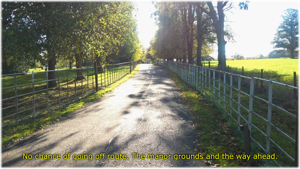
 Walk admiringly through Childwick Green to where a tarmac drive disappears into the distance and fenced off paddocks and parkland become your companions for the next cloistered mile as the tracts of the Childwick Bury estate provide a quintessentially English, if not monied, backdrop en route to St Albans. Pass Childwick Bury Manor and imagine the housework needed to keep it spick and span; for one-time owner, film director Stanley Kubrick, surely a 2001 (”cleans a big, big carpet”) Space Oddity. One can only imagine the cost and logistics of maintaining this ordered piece of Hertfordshire. I wouldn’t want the responsibility – until I won the lottery of course!!
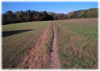
When woods appear ahead and the tarmac road bears right enter a track in front of you between high hedges and trees, with Ladies Grove Wood on your right, to appear in a large open field where a trail is blazed ahead (right) and fine views accompany you on the last mile (see below). Batchwood Golf Club will appear on your left as you skirt the fairways and head downhill on a distinct path; St Albans Cathedral on the skyline ample proof your destination is nigh. There is a choice of tracks that both emerge onto a tarmac drive. The road is the way out of the Batchwood complex so cars will only be coming from the left. Follow the road down to Batchwood Drive, cross over and turn right to the roundabout. It is generally busy so be careful crossing. Look for the dip in Bluehouse Hill (A4147) opposite where the River Ver passes under the road and follow it to the first turning on the left – St Michael’s Street – which splits left to St Michael’s and right to the Roman Museum in Verulamium Park. The end of an uplifting day’s walking finishes in front of the museum.