 Berkhamsted Common was an historic flashpoint in the fight to protect the public’s access rights to ancient common land.
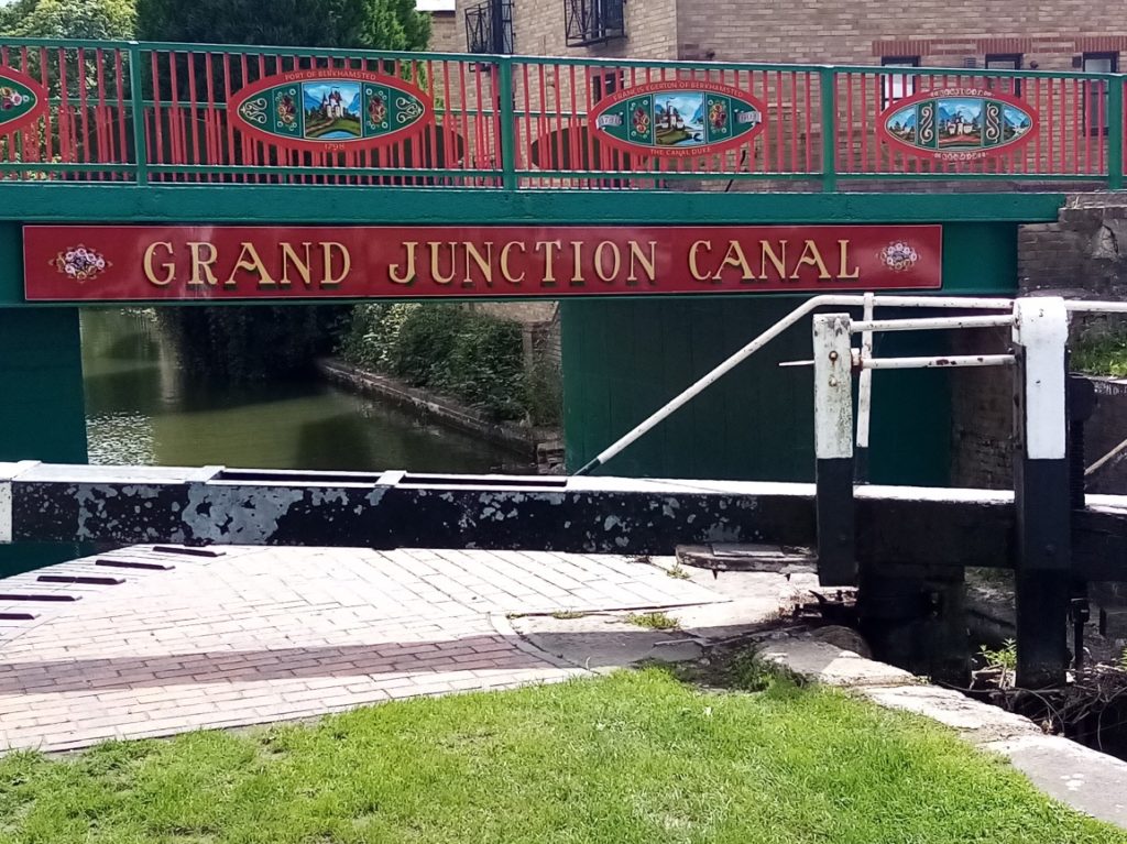
The Open Spaces Society – formerly the Commons Preservation Society – had been founded only a year before 24-year-old Lord Brownlow of Ashridge House erected three miles of iron fencing, said to be either five or six feet high, around part of Berkhamsted Common in an attempt to claim 434 acres as part of his estate. He was fearful that new Government legislation would deprive him of common land he regarded as his own. On the night of March 6th, 1866, the Open Spaces Society, Augustus Smith MP and prominent reforming Liberal MP George Shaw-Lefeyre organised a trainload of 120 tough Irish navvies and East End “hard men” to walk from Tring Station to the common to tear down the fence overnight in what became known nationally as the Battle of Berkhamsted Common. Brownlow brought a legal case against Smith for trespass and criminal damage. Sir Robert Hunter (later co-founder of the National Trust in 1895) and the Commons Preservation Society defended the action. Lord Justice Romilly determined that pulling down a fence was no more violent an act than erecting one. He ruled the case rested on the legality of Brownlow’s actions in having put up the fence in the first place and the legal right of the people to use the land. He decided in favour of Smith, a landmark legal decision that resonates to this day. The precedent, along with the Metropolitan Commons Act of 1866, helped ensure the protection of Berkhamsted Common and other commons nationally threatened with enclosure. In 1926 the common was acquired by the National Trust.
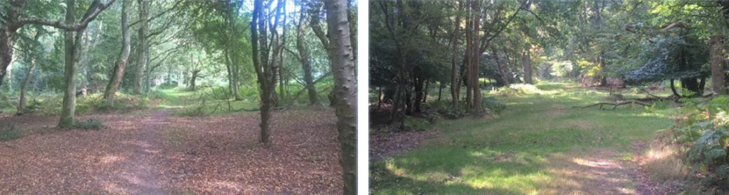
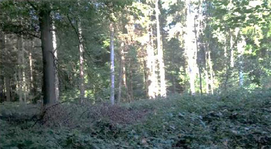
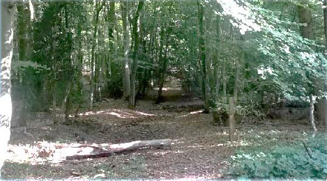
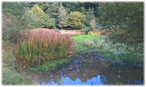
 The Ashridge estate and beautiful Berkhamsted Common – once part of the estate – have had their ecology shaped by the chalk ridges they sit on. Heavily wooded in parts they nevertheless encourage close inspection as well trodden footpaths and sinuous little tracks lure you into the restless depths. Why is it that so many people feel at ease and secure when wrapped in their ancient embrace? Whenever I enter thick woodland my pace slackens, my senses heighten and there’s a delightful anticipation as to what may unfold.
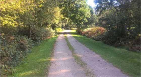
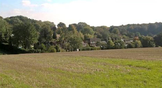
Berkhamsted Common is such a place. Having crossed the tree lined B4506 – at this point the vista is unbroken woodland – follow the bridleway, keeping left when it soon forks, to a gravel track at Little Coldharbour Farm which leads towards Coldharbour Farm. Ignore a bisecting track and continue onwards until you reach a signpost that sends you right en route to Brickkiln Cottage which emerges behind the trees on the right (see picture above).
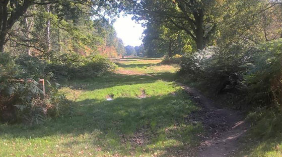
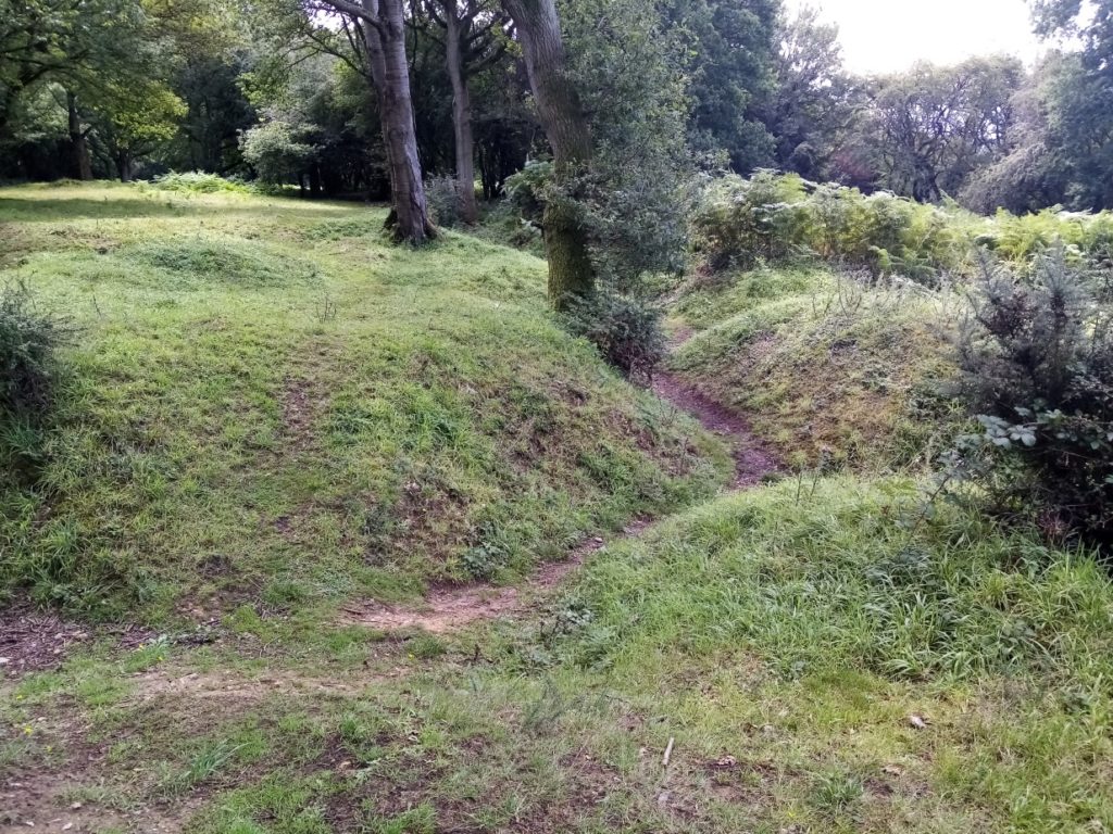
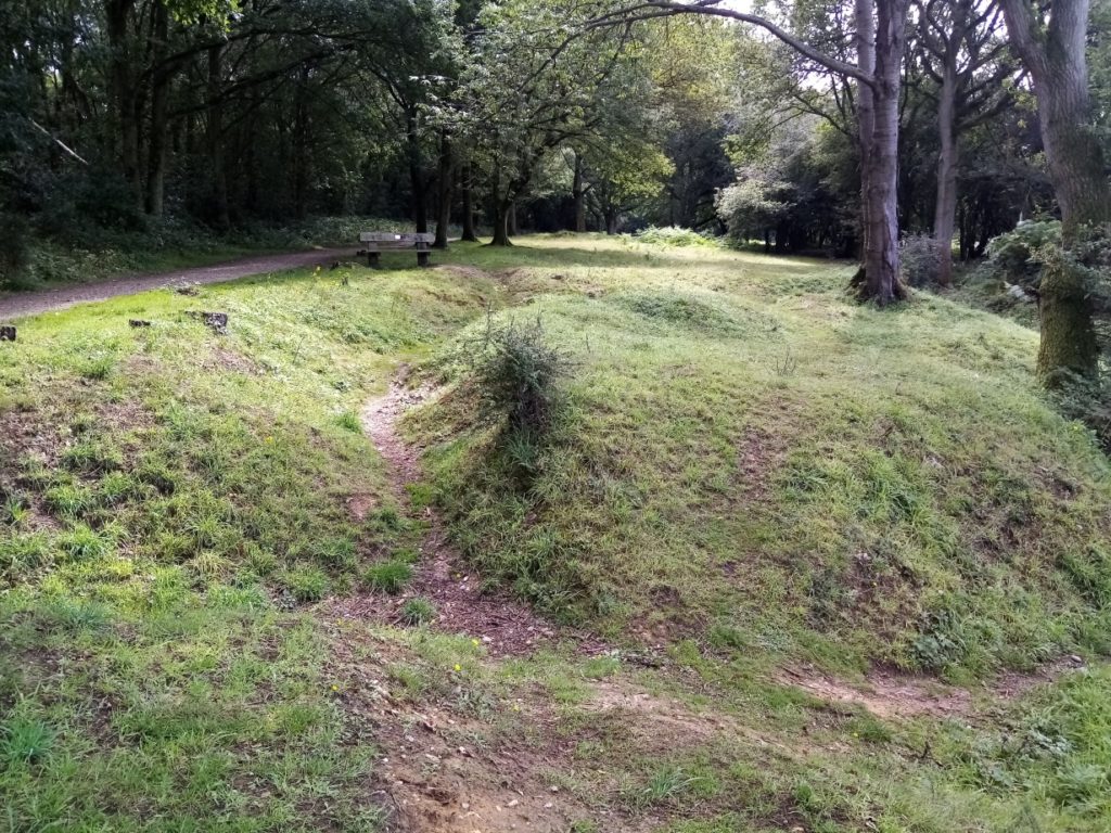
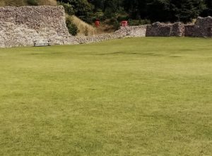
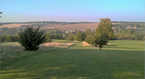
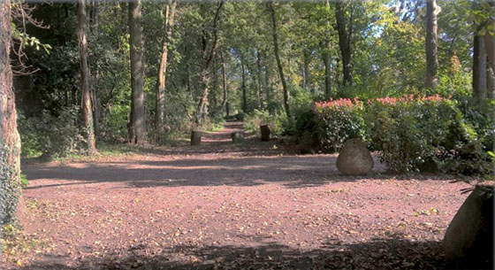
 Leaving behind the close confines of the wood follow the broad avenue to a cross roads at the end. The old route to Potten End continues onwards, but you turn right on a waymarked track. Very shortly at another sign turn left and walk slowly uphill towards the restored historic World War l training trenches, with views of Berkhamsted unfolding on your right. (Picture right).
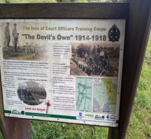
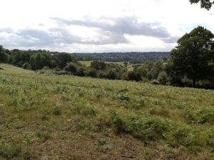
On September 28th, 1914, troops from the Inns of Court Officers’ Training Corps – nicknamed The Devil’s Own – arrived in Berkhamsted to train for fighting in northern France. During four years of the conflict 12,000 troops passed through the tented camp and paraded on what is now called Kitchener’s Field while training on Berkhamsted and Northchurch commons and the surrounding countryside. Nearly eight miles (13 kilometres) of ‘training’ trenches were dug, of which only 500 metres remain. For many of the young men, who won great respect from Berkhamsted’s then 7,500-strong population, it was the last ‘home’ before they left for the Western Front. By 1918 nearly half of all those trainees had become casualties with 2,200 killed.
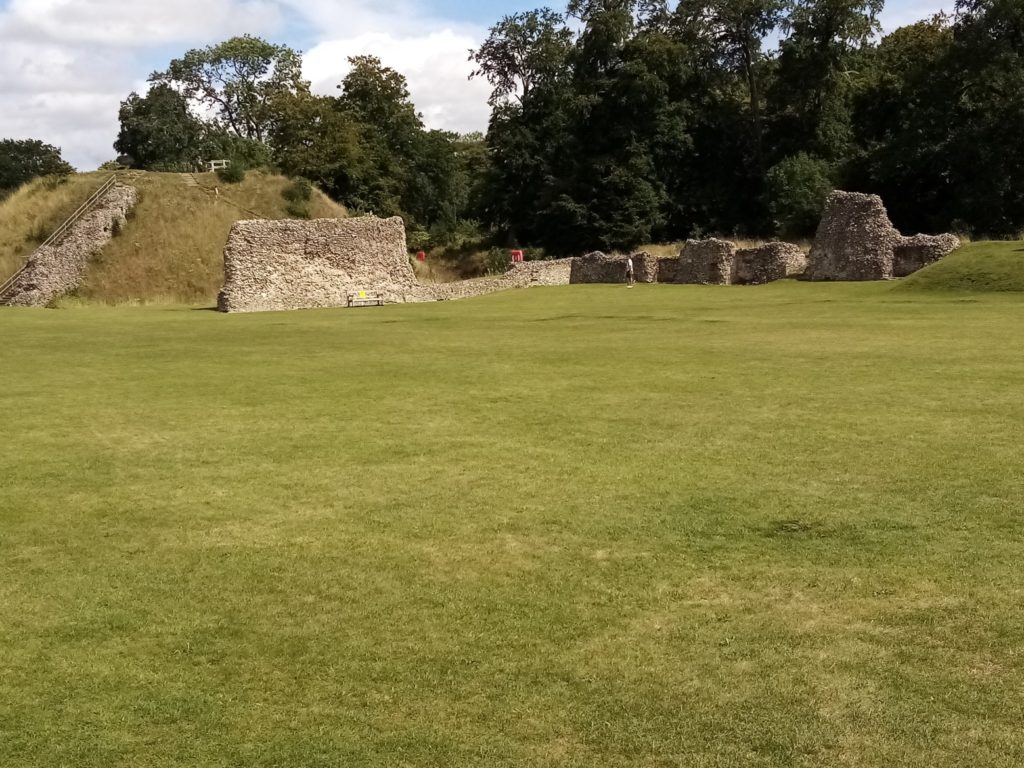
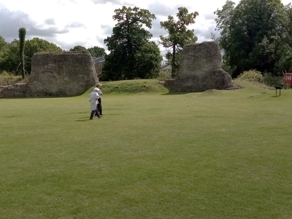
 The motte-and-bailey castle was built to control a key route between London and the Midlands during the Norman conquest of England in the 11th century. The castle was besieged in 1216 during the civil war between King John and rebellious barons, who were supported by France. It was finally captured by Prince Louis, the future Louis VIII. It was retaken by royal forces the following year and given to Richard, Earl of Cornwall, beginning a long association with the Earldom of Cornwall and the later duchy. Richard redeveloped the castle as a palatial residence, and made it the centre of the earldom’s administration. Edward III further developed the castle in the 14th century and gave it to his son, Edward, the Black Prince, who expanded the hunting grounds. The castle was also used to hold royal prisoners, including John II of France and rival claimants to the English throne. In the late 15th century, the castle became increasingly unfashionable and fell into decline. By the mid-16th century, it was in ruins and unsuitable for royal use. The castle was almost destroyed during the construction of the London and Birmingham Railway in the 1830s. As a result, it became the first building in Britain to receive statutory protection from Parliament. In 1930, the castle passed from the Duchy of Cornwall to the government. Entrance to the ancient monument is free.
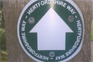 If you have decided to opt for the shortened walk and are heading for Hemel Hempstead station than refer to paragraph 7a in the official guidebook. Paragraph 7b explains out how you can rejoin the Hertfordshire Way at the start of the second day’s walk.
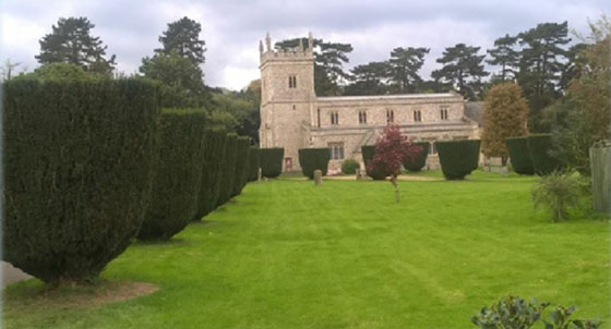
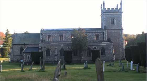
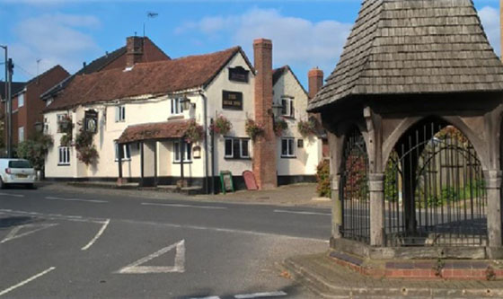 A name for the village first appeared in deeds from 1200 as Bovyndon. It could have originated from the Old English word ‘Bufan dune’ meaning “above the down” or from ‘Bofa’s down’, the down belonging to Bofa. The impressive St Lawrence Church stlawrrencebovingdon.com – which can boast the second largest churchyard in Hertfordshire – was built in 1845, two years after the former neglected building was torn down. The only part of the old church remaining is the lower half of the tower. Nevertheless, it is thought a church or chapel has stood on the site since at least 1200. The distinctive avenue of clipped yew trees were planted in the 1880s – at the same time as farmers were barred from grazing their animals in the churchyard! Bovingdon is medieval in origin but expanded significantly in the 1940s, a time when the neighbouring airfield (off route) played a strategic role in World War II. The airfield was built between 1941/42 when RAF Bomber Command took up residence. Later that year it was handed over to the United States Army Air Forces. With its main runway over a mile long Bovingdon become home to the American Air Force between 1943-63. The Americans flew some combat missions from Bovingdon until the airfield became a training base for B-17 crews until the end of WWII. Several film stars were assigned to the base including Clark Gable, James Stewart and William Holden. Among famous wartime visitors were Bob Hope, Mrs Eleanor Roosevelt and Glenn Miller. Flying ceased at the airfield in 1969 and it shut three years later.
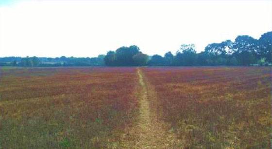
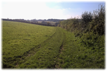
There are many delightful routes across the common but the Hertfordshire Way follows the wide bridleway (see pictures above left) around its right hand edge with some enviable houses for company until you arrive at the Apostles Pond. Look for an iron gate on your right and bear half left along an unclear narrow path which, if you are confident you are on target, follow until you finally emerge from the trees at Top Common on Common Road. Ultimately it doesn’t matter if you lose your way on the common. It’ll only be a short walk either left or right to return you to the correct spot. I think drifting from the supposedly ‘chosen’ route is part of the enjoyment of exploring woodland.
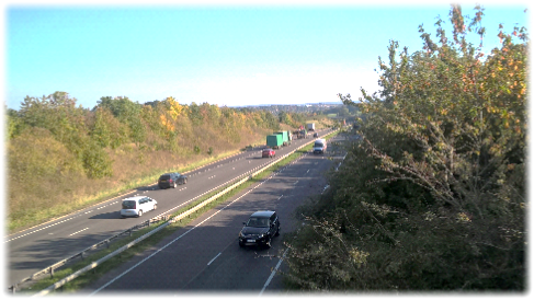
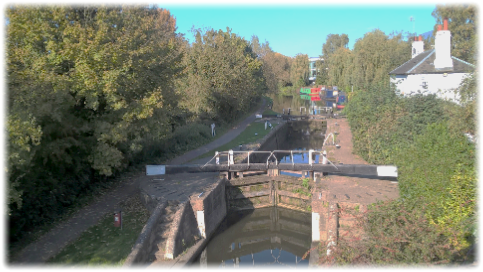
Cross the road and enter the footpath alongside the drive to The Paddock. If there are walkers who have a perverse attraction to – and fondness for – kissing gates the next mile to the A1 will send them into raptures. For the rest of us Hertfordshire County Council’s policy of replacing stiles with kissing gates will have prevented untold groin strains, muscle aches, undignified plummets into brambles and all the other pitfalls associated with clambering over rickety stiles with a rucksack on your back and looming exhaustion in your legs. Stiles threaten one’s dignity. Kissing gates prevent such humiliations. From the road you pass through four kissing gates in quick succession as the land rises and dips slightly alongside hedges, through pastures on obvious routes and then on a broad farm track until another series of kissing gates lead you through fields en route to a footbridge over the A41 (below). I lost count of the number of gates I squeezed through but it was getting near to a dozen and I’m not convinced they were all called for. Perhaps it was a case of the footpath authority mistakenly over-ordering twice as many as were needed and a foreman, reluctant to send them back because of the paperwork, telling his crew: “Stick the extra ones in where there’s a gap. No one will notice.” At the end of the footbridge go left and then right through a kissing gate on to a broad farm track which drops down to King’s Langley emerging between Broadfield Farm and Wayside Farm on the Watford Road. Turn right, cross over and just before reaching the roundabout turn left down a path which descends to the canal. Join the main road uphill until the T-junction with Station Road. The station is on your right. The next stage of the walk is on your left.