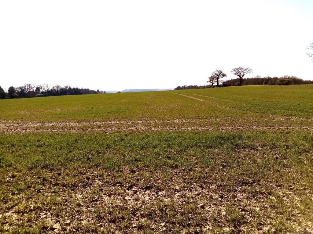
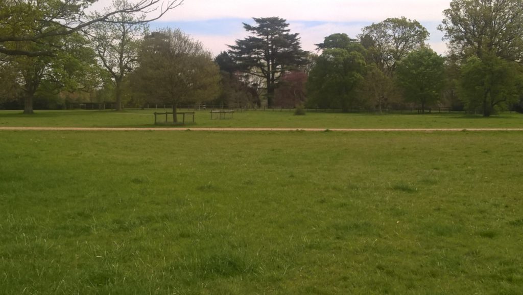
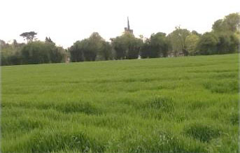
 The path skirts the backs of houses before entering a recreation ground with one of the most user-friendly park goals I’ve seen. No running to get the ball after you’ve scored because the net’s torn, or there isn’t a net at all. It’ll simply rebound out. Wide shots will also bounce back off the steel framework. Three-and-in becomes a less time- wasting kick about. What’s not to like? To those of us who piled up jumpers for goal posts it was a revelation. Anyway, continue on a path between hedges and across a broad field (left) towards a clearly visible kissing gate (below).
Cross a sunken track and follow the path downhill to a hedge. Turn right ignoring a footpath on the left and then a bridleway which also joins from the left. This is the original route of the Hertfordshire Way via Bedmond. Continue on the bridleway, ignoring the footpath on the right, until you reach a metal gate at Chequers Lane. Turn left, there are no pavements so be careful to avoid often heavy traffic, and almost immediately on your right opposite Waterdale Cottage – the HW roundel is at the top of a metal post (this is also a minor change from the original route as outlined in the first two editions of the guidebook) – and follow the path ahead with the hedge on your right. There is a parallel grassy alternative on the other side that walkers sometimes take. Continue between fences when you reach Fortunes Farm, stopping off at the gate to admire the menagerie of wildfowl, chickens, goats and horses, the birds kept in high class enclosures that would shame the most monied zoo.
More curiously, if you peek over the hedge, is a concrete pillbox stuck in the garden. An original or an ersatz folly? But as you’ll encounter a few dotting Potters Bar Golf Club on the next section of the walk – part of a World War II defensive ring around the north of London – I’d hope it was a piece of our history. I’d love one in my garden! When you reach High Elms Lane turn left.
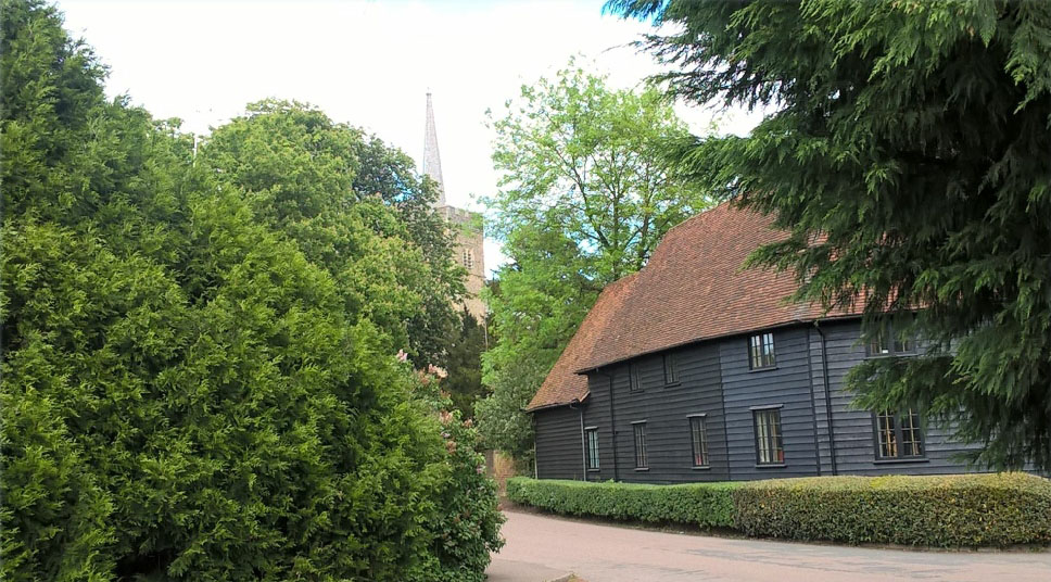
 Continue past Parmiters School (ignore the footpath on your left which is where the HW use to appear) and West Herts Crematorium to the A405. Cross over High Elms Lane and take the subway to Bucknalls Lane, Turn left and walk the length of the road to the Building Research Establishment (below-right) after crossing the M1 motorway before entering a narrowing bridleway. Continue until Bricket Wood common opens in front of you. The walk now becomes a lot more interesting.
The former Government owned Building Research Establishment has been in existence for more than 90 years. It carries out research, consultancy and testing for the construction and built environment sectors in the UK. The then Building Research Station moved to Watford in 1925 occupying Bucknalls, a large Victorian house which is still there, and 38 acres of land. During World War II staff helped create a 1/50th scale model of the Mohne Dam used by Barnes Wallis during his early research into the now legendary bouncing bomb. The BRE holds an annual public open day, the highlight of which for many is discovering the remains of the dam mock-up – with a distinctive V missing from its centre where the mini bombs were exploded – in woodland on the site. It holds back a small pond so water often trickles through the gap. Many years ago when working for BBC London News I filmed a weekly four minute feature which was broadcast at 6.30pm called The Max Files, fronted by the former president of the Royal Institute of British Architects Maxwell Hutchinson. One week we filmed a behind the scenes feature on the unseen and unsung work of the BRE, including a section in its unparalleled ‘library’ of woods from around the world and a room where the eerie sound of wood devouring insects could be heard. It’s a fascinating place that– through its research into eco-friendly, energy efficient and robust properties, fire safety measures and its testing of the homes of the future – has a huge impact on the built world and our lives. www.bre.co.uk
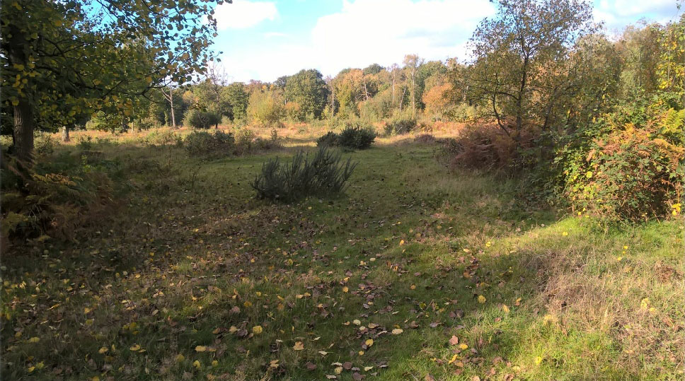
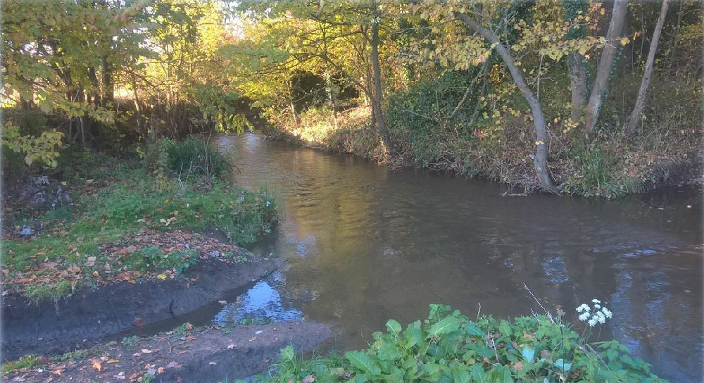
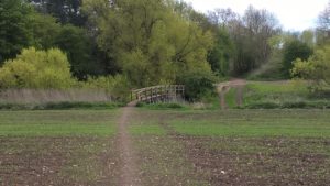
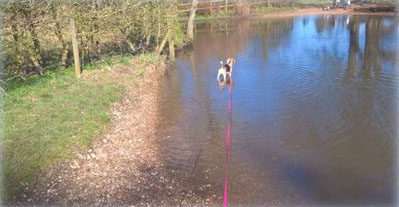 On reaching School Lane turn right and immediately left by the houses onto the Munden estate. Cattle grid optional. Follow the road until the woods open out and parkland and pasture appear. Head for the kissing gate in the fence on the right – signposted – and then head diagonally across the estate (below left). (A charming detour to the much photographed ford and bridge across the Colne just below Munden House (see left) can be reached by ignoring the kissing gate, continuing on towards the estate cottages and taking the gate to their left. A short track leads you down to the Colne where you can paddle, stand on the bridge and watch the fish or admire the 30 room, 18th century Munden House and gardens. After retracing your steps head across the parkland of the 850 acre estate (top left) keeping left of the clumps of trees until you reach its metalled access road. On your left is an impressive collection of different trees in the grounds of Munden House (below right).
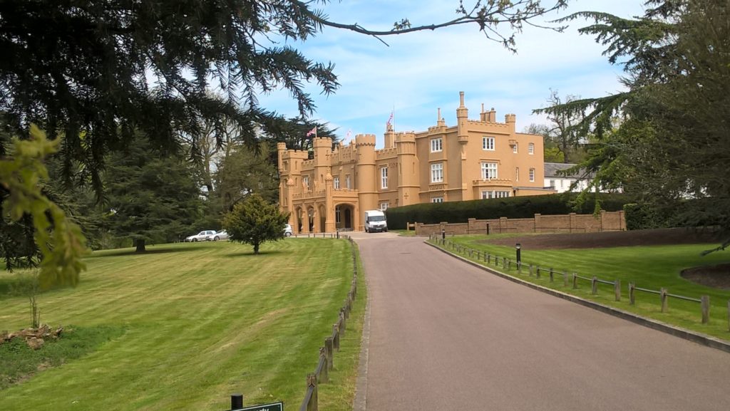
 Wall Hall (below) is a turreted and castellated Gothic style house built in 1802 and originally called Aldenham Abbey. It was formerly the home of the famous American banker J. P. Morgan who bought the 300 acre estate in 1910 and renamed it Wall Hall where he entertained the Royal family and the cream of society. During World War II it served as the residence of the American ambassador, Joseph Kennedy; the father of JFK. In 1945 it was converted to a teacher training college, later becoming part of the University of Hertfordshire. In 2007 the house and other listed buildings on the now 56 acre site were converted into 25 homes with another 76 houses and flats built within the stylish and private grounds.
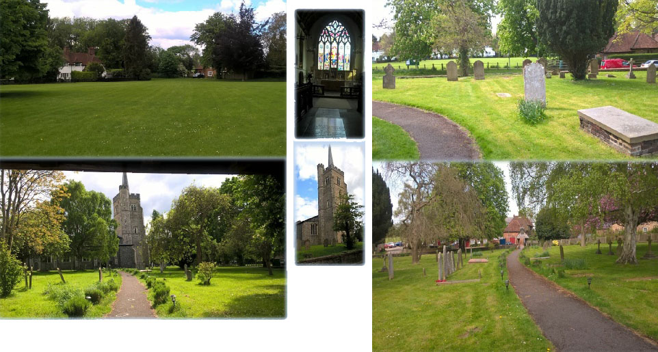
 Aldenham was mentioned in the Domesday Book and has eight pre-19th century listed buildings. Wonderfully the parish has remained largely unchanged over the centuries although it is probably a lot smaller than 500 years ago when lands were sold off after the Reformation. The church of St John the Baptist is at least 700 years old although there is evidence to suggest an earlier Saxon Church stood on the site – or may even have been used for pre-Christian worship. The earliest available document to mention the current church is dated 1267 and relates to the appointment of a vicar. Inside the beautiful interior (for more information log on to www.aldenhamchurch.com) are two windows dedicated to the memory of the crew of HMS Aldenham, a Royal Navy Hunt Class Destroyer- named after the Aldenham fox hunt – that was sunk in the Adriatic on December 14, 1944, after hitting a mine. Of the 126 crewmen only 63 men were rescued. A memorial service is held at the church each December. In 1940 a German air attack damaged stained glass and the distinctive spire – known as a Hertfordshire Spike. It wasn’t until 1950 that restoration work was complete. One wonders what the Luftwaffe were trying to bomb but ending up hitting Aldenham. Perhaps those supposedly strategically placed pill boxes along the River Colne which still exist in places! No. Put it down to a myopic bomb-aimer. With its village green, social and cricket club and, remarkably, its own golf course Aldenham is a quintessential English village you might unexpectedly discover tucked into the folds of the South Downs. It has it all, apart from a thatched village pub. But we’ll forgive it that historic lapse. So close to the unwanted incursion of London life but still a treasure. wikipaedia.org/wiki/Aldenham
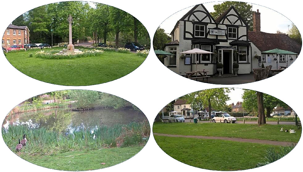
 Leave Aldenham through the churchyard. From the lych gate walk up to the church, turn right then turn left, pass the main door and find a grassy path virtually straight ahead alongside a wall that leads to Church Close. Cross Aldenham Road – beware it is often busy and cars speed – and, if you’re in need of refreshment, walk 80 yards down Round Bush Lane to the superb 17th century Round Bush. If you’re bold enough to eschew the delights of a pint of decent real ale walk past the cottages which start at the top of Round Bush Lane into The Spinney. At the top of the road cross Primrose Lane and find ahead of you a bridleway which drops right to Letchmore Heath (left). On reaching Grange Lane turn left into the village and at the fork right into The Green. Proceed to the archetypal film set English village of pub, pond, village green and war memorial. If you think you recognize it you probably do.
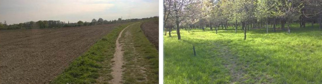
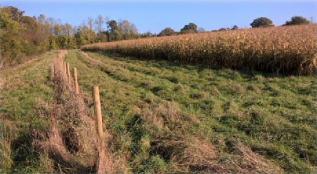
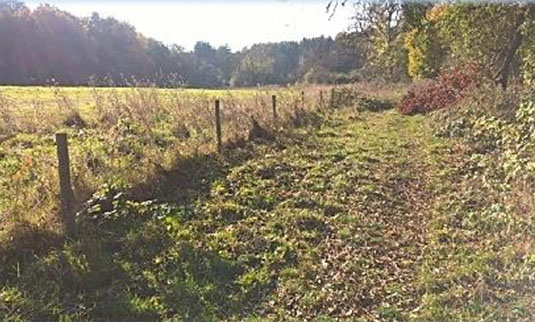
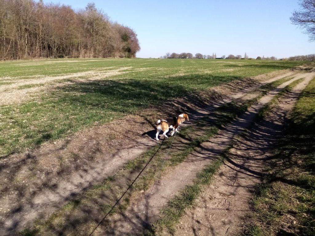
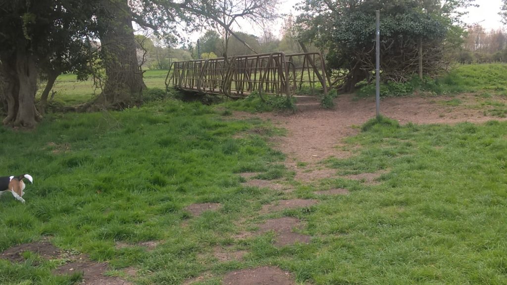
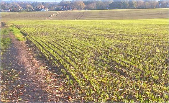
 The pay back for such a hazardous crossing is the next easy and charming two mile stretch which climbs imperceptibly to your destination at Shenley Park. For the inquisitive rambler who likes to drift off the well-worn paths to explore and blaze their own trail this section will be a disappointment. The walker is largely constrained for much of the way by fences, hedges and hundreds of yards of wooden post and rail fencing enclosing paddocks for horses. While hardly on a par with the Berkshire Downs or Newmarket gallops this is clearly horse stabling and riding country. For much of the walk the Hertfordshire Way coincides with the Watling Chase Timberland Trail so signposting is excellent and the likelihood of getting lost negligible. As it is close to home I walked this section in the summer with a bonkers beagle and then alone on a beautiful autumn day. On both occasions it was a sublimely enjoyable hour. From Theodore Street walk straight ahead on a gravel path between fences (left). When it becomes grassy cross a footbridge and, after a five bar gate, continue on the well-trodden path alongside a stake and wire fence (below left). A late tall crop of – what I thought was sweet corn but with my knowledge of arable farming it could have been spaghetti – conjured up, once again for some perverse reason, that hostile low-flying crop duster dive-bombing a fleeing Cary Grant. Fittingly I was heading a bit North by Northwest.
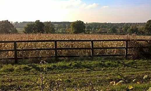
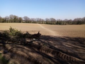
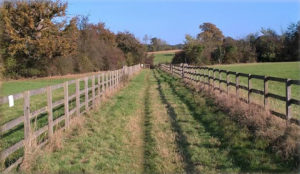
The path becomes constricted between bushes as it bends and then heads right skirting a fenced enclosure (bottom left) until you reach a wood ahead of you and a private drive on your left. Turn right and drop downhill towards a metal gate. A prominent Watling Chase Timberland Trail sign -adorned with the Hertfordshire Way roundel of course – sends you left through a small wood. Note the very tall old pines on your left. The path emerges alongside another fence which leads to a gate where you bear left, corralled in between paddocks. The views here are increasingly impressive (bottom right) as you gain a bit of height, the skyline dominated by the old Shenley Hospital water tower.